WASHINGTON, D.C. (May 3, 2022) — The Incorporated Research Institutions for Seismology (IRIS) has created an online version of its popular activity “Determining and Measuring Earth’s Layered Interior” to challenge students to use evidence in the form of earthquake data to understand the Earth’s interior layers. This free web-based tool for Earth Science classrooms was funded in part by the National Science Foundation.
The activities contained within the tool emphasize the use of models and the importance of using empirical evidence to make discoveries in Earth Science. When using the tool, students act as scientists as they discover and analyze real-world data. This exploration encourages independent thinking, data analysis, and engineering and design, as it builds an understanding of this dynamic planet and its internal engine.
“Students today have unprecedented access to seismic data and web tools that allow them to explore fundamentally big ideas such as the predictive power of models to help explain the Earth’s system and to measure the Earth’s core,” said Michael Hubenthal, Senior Science Education Specialist at IRIS. “The “Determining and Measuring Earth’s Layered Interior” tool allows students to explore and analyze the data that scientists use to understand the layers of the Earth.”
Using the tool, students answer interactive questions such as “How do the Earth’s systems interact?” and “Why do scientists use models?” The tool offers detailed instructions, embedded instructional videos, and a downloadable certificate upon completion.
The tool is based on a 1900 study conducted by Richard Oldham, an Irish geologist who made two fundamental discoveries that have greatly influenced the development of the field of seismology, and it meets NGSS performance standards for students to develop a model based on evidence of Earth’s interior to describe the cycling of matter by thermal convection.
To learn more about IRIS and access the “Determining and Measuring Earth’s Layered Interior” tool, visit: https://www.iris.edu/hq/inclass/software-web-app/layered-earth.
About IRIS
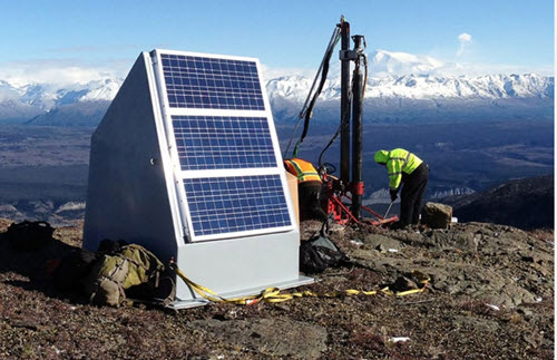
The Incorporated Research Institutions for Seismology (IRIS), a university consortium with more than 125 U.S. member institutions and the operator of the National Science Foundation’s Seismological Facility for the Advancement of Geoscience (SAGE), is a world leader in advancing discovery, research, and education in seismology to understand our planet and to benefit society. The organization operates global seismic networks, portable seismic instrumentation, and data access facilities. Additionally, it provides free educational resources for faculty and teachers, students, and the general public, including lesson plans, animations, animated gifs, earthquake data, wave visualizations, several easy-to-use online applications, and much more.

- National Survey of Substitute Teachers Across K-12 Districts Reveal Professional Development, Flexibility and Community Engagement as Most Important Factors to Job Satisfaction - May 21, 2026
- Despite concerns, Gen Z students are optimistic about AI - May 20, 2026
- In Illinois, charting a path for responsible AI use - May 14, 2026